 Miya Bholat
Aug 25, 2026
Telecom Fleet Dispatch Needs Accurate Asset Locations
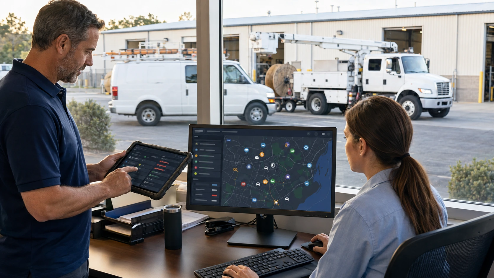
Accurate asset locations give telecom dispatchers a current, verified position for every service vehicle and critical piece of field equipment. That means knowing not only which crew is closest, but also which bucket truck, cable reel, generator, or splicing kit is available and suitable for the call. A dependable fleet tracking and telematics system turns location data into a dispatch decision that can prevent wasted truck rolls and missed service level agreements.
Telecom fleets need this wider view because the nearest technician is not always the right technician. The assignment must account for vehicle capability, equipment availability, crew qualification, and job priority. A telecommunications fleet management system helps teams maintain that context across outage response and planned field service.
Key Takeaways
- Location accuracy is a dispatch requirement. A map point must be recent, reliable, and connected to the correct asset.
- Telecom assets include more than vehicles. Bucket trucks, cable reels, generators, and field equipment can determine whether a crew can complete the job.
- Stale or incorrect data creates predictable errors. It can send the wrong crew, hide an available asset, or trigger an unnecessary truck roll.
- Location failures have direct costs. Misdispatch contributes to repeat visits, no fault found calls, overtime, and missed service commitments.
- Dispatch ready data requires controls. Tracker pairing, update thresholds, geofences, and recurring audits keep records trustworthy.
- The closest asset is not always the best asset. Dispatch must match proximity with capability, equipment, and availability.
Why Asset Location Accuracy Is a Dispatch Problem, Not Just a Tracking Problem
GPS can place a dot on a map. Dispatch ready data tells the coordinator which asset that dot represents, when it last reported, whether it is moving, and whether it can accept work. Without that context, a technically valid coordinate can still produce the wrong assignment.
For example, a van may appear close to a fiber outage even though its last update is twenty minutes old. A tracker labeled as a bucket truck may actually be attached to a generator. General real time GPS dispatch and routing decisions depend on fresh positions, but telecom dispatch also requires an accurate match between the job and the resources arriving on site.
What Counts as an Asset on a Telecom Fleet
Vehicles and Bucket Trucks
Service vans transport technicians, tools, and replacement parts. Bucket trucks add elevated access for overhead line work. Dispatchers need each vehicle record to show its current location, availability, assigned crew, and operating status.
Location alone cannot confirm that a vehicle is ready. The dispatcher should also know whether the bucket truck has passed its required checks and whether the crew can safely perform the work. OSHA requires daily testing of aerial lift controls before use, reinforcing why a nearby truck should not automatically be treated as dispatchable. The requirement appears in the OSHA aerial lift standard.
Cable Reels, Generators, and Field Equipment
Nonvehicle assets need the same record discipline. A crew may reach a job quickly and still fail to complete it because the required cable reel, generator, splicing equipment, or test kit is somewhere else.
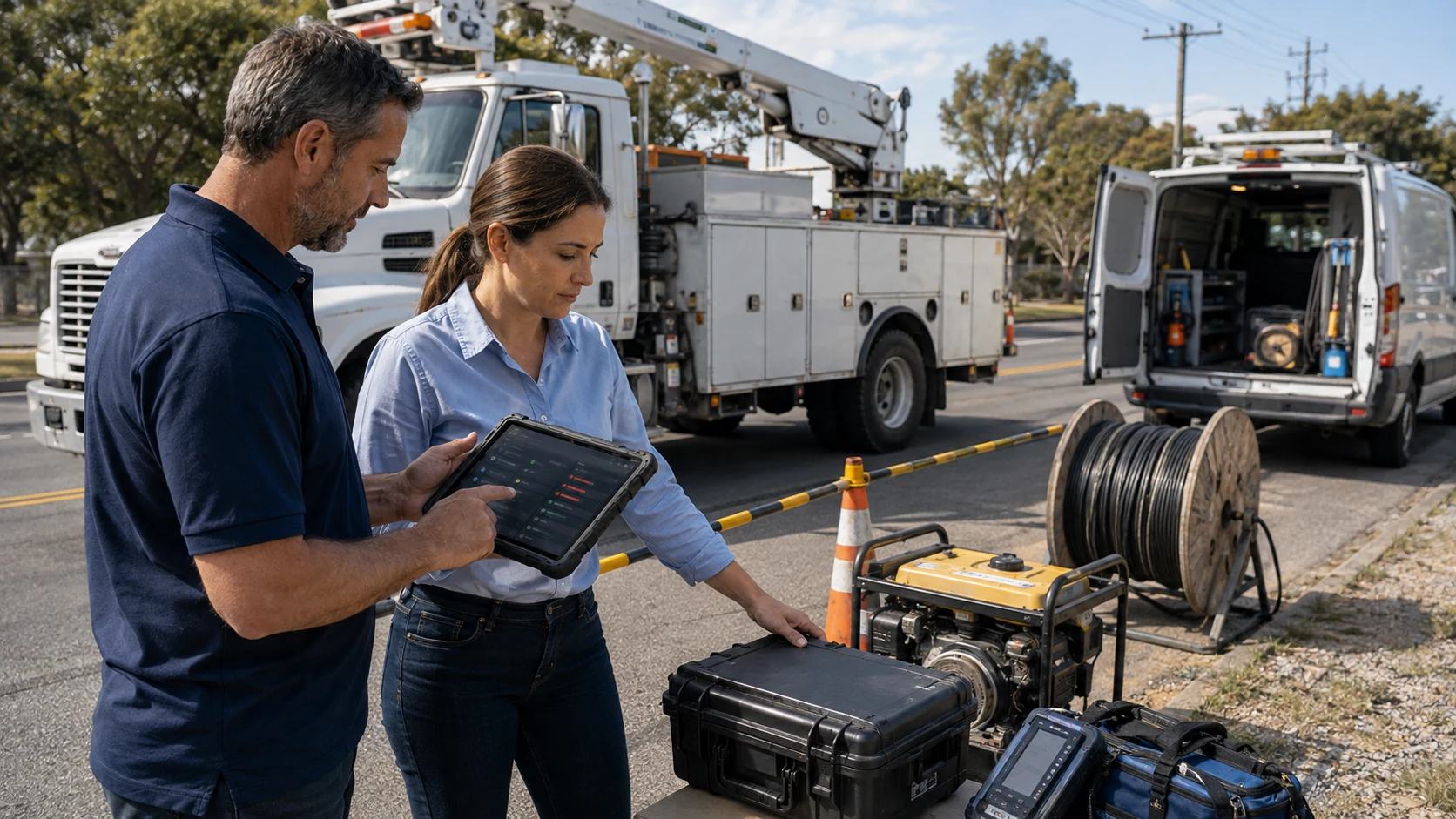
Equipment and asset records should connect each item with its latest location, assigned vehicle or crew, availability, and service status. This lets dispatchers choose the nearest complete response unit instead of simply choosing the nearest van.
Where Location Data Breaks Down
Update Frequency and Data Lag
Location lag can result from device settings, weak connectivity, power interruption, or delayed transmission. To a dispatcher, the point can look believable even though its timestamp is too old for an assignment.
There is no universal update interval for every fleet. A practical threshold should reflect asset speed, territory size, job urgency, cellular coverage, and device battery limits. Active outage dispatch may need updates measured in seconds, while a stationary cable reel may report less often. The important rule is to display the last update time and treat data beyond the approved threshold as stale.
Delayed location data becomes especially costly when urgent calls compete for a limited number of qualified crews.
Signal Loss in Dense, Remote, or Elevated Work Areas
Buildings, bridges, trees, terrain, tunnels, and limited sky visibility can reduce positioning quality. GPS.gov states that GPS enabled smartphones are typically accurate within a 4.9 meter radius under open sky, but accuracy worsens near buildings, bridges, and trees. It also notes that performance depends on signal blockage, satellite geometry, atmospheric conditions, and receiver quality. These limits are explained on the official GPS accuracy page.
Dispatchers should distinguish among a current position, a low confidence position, and a last known position. A frozen dot should never be treated as proof that an asset is still there.
Mislabeled or Unassigned Trackers
A tracker can report perfectly and still mislead dispatch when paired with the wrong asset. This often happens after hardware replacement, temporary equipment transfers, or incomplete record updates.
A clear fleet data model for vehicles, drivers, and GPS gives every device one verified relationship to a physical asset. Teams should record installations, removals, and transfers through a controlled GPS tracking device setup process so the map and the yard remain aligned.
What Inaccurate Asset Locations Cost a Telecom Fleet
Industry estimates supplied for this topic place a truck roll between $150 and $500, depending on market and job complexity. They also estimate that 17% to 20% of telecom truck rolls result in no fault found. Aberdeen Group has reported that 25% of service calls require at least one follow up visit.
| Data failure | Dispatch consequence | Potential cost impact |
|---|---|---|
| Stale vehicle position | A crew is sent from farther away than expected | Additional travel, overtime, and possible SLA delay |
| Incorrect tracker pairing | The wrong truck or equipment reaches the site | Another truck roll at an estimated $150 to $500 |
| Missing equipment location | The crew arrives without the required resource | Incomplete work and a follow up visit |
| Signal loss treated as live | Dispatch assigns an asset that is no longer there | Delayed response and avoidable reassignment |
| Unverified no fault found call | A crew is sent without enough location or fault context | Capacity is consumed without restoring service |
Fleet managers can estimate direct exposure with a simple calculation:
Monthly avoidable location related cost = avoidable truck rolls × average truck roll cost
If ten monthly truck rolls are traced to poor location data, direct exposure is approximately $1,500 to $5,000 before overtime, SLA penalties, and lost capacity.
Building a Dispatch Workflow That Relies on Accurate Locations
Use the following workflow to make location data a controlled dispatch input:
- List every dispatchable asset. Include vans, bucket trucks, reels, generators, trailers, and specialist equipment.
- Pair each tracker with one verified record. Record the device identifier, installation date, asset identifier, and current assignment.
- Set update thresholds by asset type. Define when moving vehicles, emergency assets, and stationary equipment become stale.
- Geofence depots and common job sites. Use arrival and departure events to verify staging and job activity.
- Validate the full assignment. Check location time, asset identity, crew capability, availability, and required equipment.
- Create a fallback process. If location is stale or unreliable, confirm it through an approved secondary method before dispatch.
- Audit exceptions weekly. Review unassigned devices, impossible movements, recurring signal gaps, and tracker changes.
Reliable GPS tracking and telematics supports this workflow, but a fleet manager must still assign ownership for device records and data exceptions.
How Accurate Location Data Changes Outage and Service Call Response
During an outage, accurate positions help coordinators rank calls by severity and identify the closest qualified response unit. They can confirm that the crew has the correct truck, access capability, replacement cable, generator, and diagnostic tools before sending it.
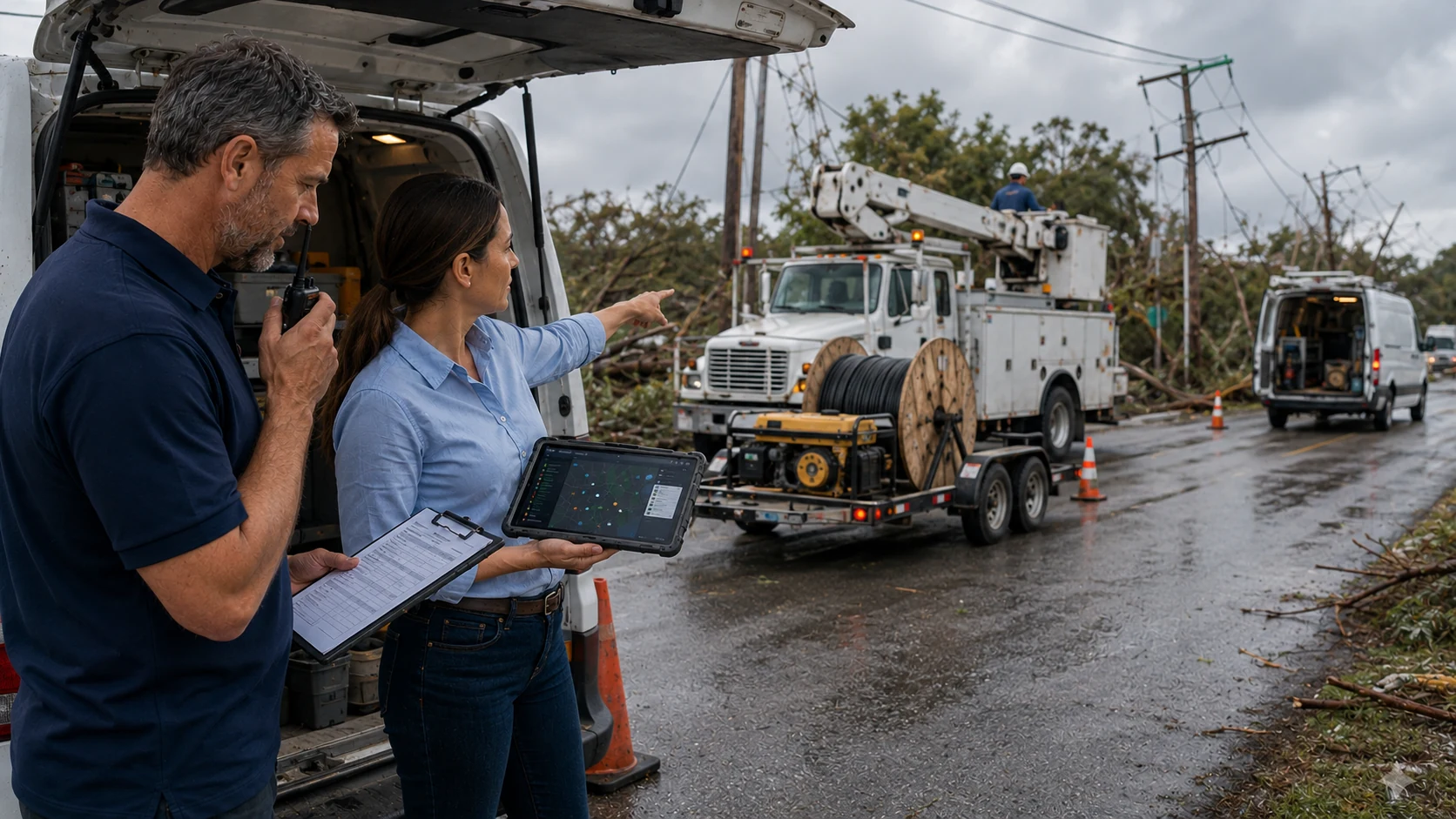
The FCC says its disaster resiliency rules are intended to reduce wireless outages and support faster service restoration after hurricanes, wildfires, and other disasters. Its wireless network resiliency guidance shows why accurate operational awareness matters when resources are limited and restoration priorities change quickly.
For scheduled work, accurate locations make reassignment easier when a job runs long or an urgent call interrupts the plan. GPS reports with asset context can show why a dispatch decision succeeded or failed instead of measuring distance alone.
Evaluating Whether Your Telecom Fleet's Location Data Is Dispatch Ready
Run this self audit before allowing location data to drive assignments:
- Freshness: What percentage of moving assets reports within its approved threshold?
- Regional reliability: Where do signal gaps recur, and what fallback applies there?
- Pairing accuracy: Does every device match the correct physical asset during a spot check?
- Geofence coverage: Are depots, staging areas, and regular job sites mapped correctly?
- Operational context: Can dispatch see status, crew capability, and equipment assignment with location?
- Exception ownership: Who investigates stale, impossible, or unassigned records, and by when?
The data is dispatch ready only when these checks remain reliable across normal routes, difficult coverage areas, and equipment transfers.
Frequently Asked Questions
-
How accurate is GPS fleet tracking?
GPS.gov says a GPS enabled smartphone is typically accurate within a 4.9 meter radius under open sky. Fleet tracker performance varies by receiver, antenna placement, satellite visibility, buildings, trees, bridges, atmosphere, and software processing. Dispatchers should check position confidence and timestamp instead of assuming every map point has the same accuracy. -
Why does a GPS tracker show the wrong location?
Common causes include an old update, weak satellite visibility, poor cellular transmission, power loss, incorrect installation, or a tracker paired with the wrong asset record. First check the timestamp and device identity, then compare the digital record with the physical asset. -
How often should a fleet GPS tracker update?
The right interval depends on the dispatch use case. Active outage response generally needs much more frequent updates than stationary equipment. Set a maximum age for each asset type, show the last update time clearly, and prevent stale positions from being used without verification. -
Can GPS track cable reels, generators, and other telecom equipment?
Yes. Powered and battery operated trackers can monitor many nonvehicle assets. Choose hardware based on power availability, expected movement, weather exposure, desired update frequency, and cellular coverage. The asset record should also show which vehicle, crew, or depot currently holds the equipment. -
How do geofences improve telecom fleet dispatch?
Geofences create a virtual boundary around depots, staging areas, and job sites. Entry and exit events can help dispatchers confirm arrivals, identify available equipment, detect unexpected movement, and compare actual activity with the planned assignment.