 Miya Bholat
Aug 26, 2026
What Is Fleet Geofencing and When Should You Use It?
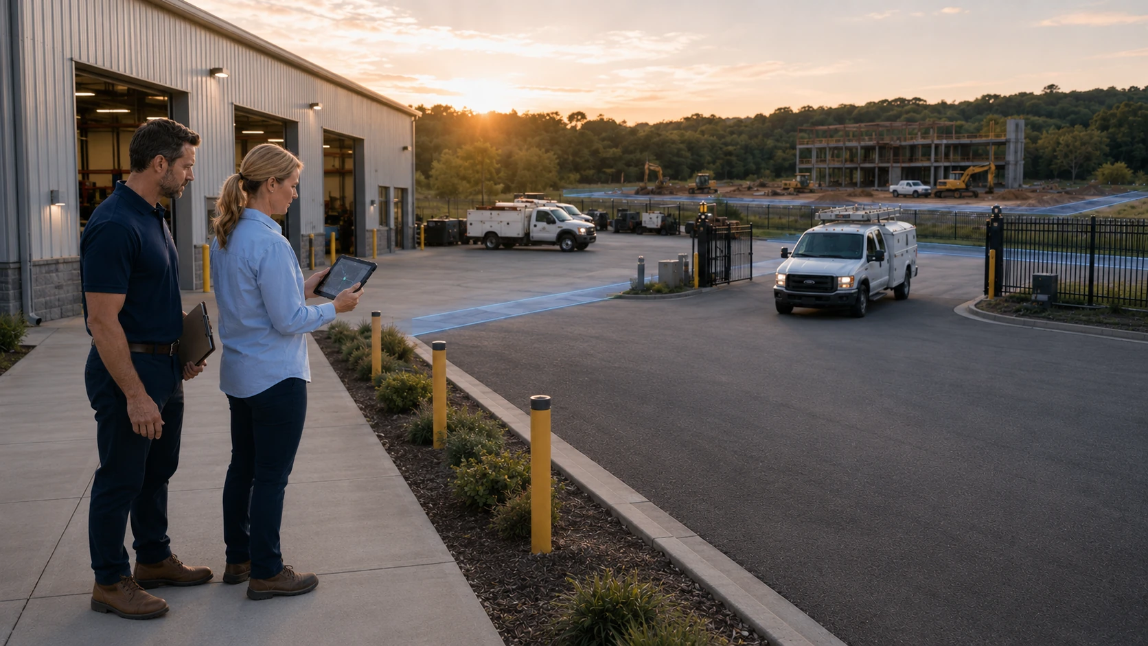
Fleet geofencing uses GPS location data to create virtual boundaries around real places, such as depots, job sites, customer locations, and approved travel areas. Fleet managers should use it when vehicle arrivals, departures, route movement, asset security, or maintenance check ins require reliable location evidence. A connected fleet tracking and telematics system turns those boundary crossings into alerts or workflow actions instead of requiring someone to watch every vehicle on a map.
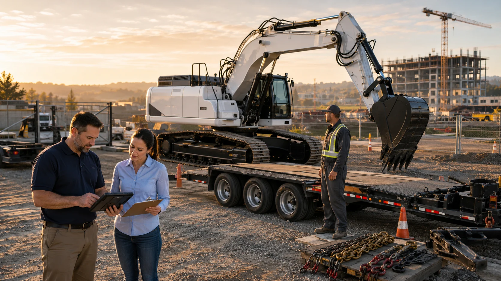
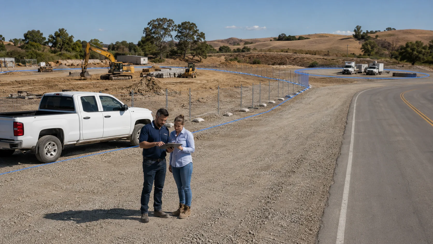
Geofencing can offer particular value to a construction fleet operating across changing job sites. Managers can create temporary boundaries for active projects, document equipment movement, and receive alerts when assets leave without authorization.
Key Takeaways
-
Geofencing turns location data into a usable event.
It can notify the right person or start a workflow when a vehicle enters, exits, or remains inside a defined area. -
Fleets should deploy geofencing when location events require action.
Job site coordination, theft exposure, route compliance, service visits, and customer billing are strong reasons to use it. -
A circle offers speed while a polygon offers precision.
The right boundary depends on the location, nearby roads, and the consequences of a false alert. -
Maintenance creates one of the most practical geofencing opportunities.
Shop arrival events can verify service check ins while synced odometer readings support accurate preventive maintenance schedules. -
More geofences do not automatically produce more control.
Fleets should begin with a few important locations, define clear responses, and tune each rule before expanding.
What Is Fleet Geofencing?
Fleet geofencing means drawing a virtual boundary around a physical location and monitoring when assigned vehicles or assets cross that boundary. Managers commonly use geofences around yards, service shops, customer sites, delivery areas, construction zones, and restricted locations. Geofencing has become a standard fleet capability because connected vehicle data is now widely available and location events can support security, dispatch, billing, compliance, and maintenance workflows. Fortune Business Insights valued the global geofencing market at $3.22 billion in 2025 and projects it will reach $11.85 billion by 2034.
How Fleet Geofencing Works
Fleet geofencing has three working parts. GPS or telematics hardware reports the location of the vehicle, software compares that position with a defined boundary, and a rule generates an alert or action when the relevant event occurs. Managers who need the complete technical process can review how fleet telematics collects and communicates vehicle data without adding unnecessary complexity to the first geofence rollout.
Types of Geofences Fleets Actually Use
The most useful geofence is not always the most detailed one. Fleets should select boundaries according to how long the location will remain relevant and how precisely the software must distinguish it from nearby areas.
Fixed vs. Temporary Geofences
Fixed geofences work best for locations the fleet uses repeatedly, while temporary geofences support operations that move or expire. Consider these practical differences before choosing one:
- Fixed geofences: Use them for depots, offices, service shops, storage yards, regular customer sites, and restricted locations.
- Temporary geofences: Use them for construction projects, seasonal work areas, events, emergency response zones, and short term delivery locations.
- Management tradeoff: Fixed boundaries require less ongoing administration, while temporary boundaries require owners and expiration dates to prevent outdated alerts.
Circle vs. Custom Polygon Boundaries
Boundary shape affects both setup time and alert accuracy. The following tradeoffs can help managers choose an appropriate shape:
- Circle boundaries: They are quick to create and work well around isolated yards, depots, and customer sites.
- Custom polygon boundaries: They follow irregular property lines and can exclude nearby roads, parking lots, or unrelated buildings.
- Precision tradeoff: A simple circle saves setup time, while a polygon can reduce false arrivals and departures in dense areas.
Reviewing common GPS vehicle tracking use cases can help managers match boundary design to a specific operational problem.
When Should You Use Fleet Geofencing? A Decision Framework
Geofencing becomes worthwhile when a location event changes what someone should do next. If an arrival affects dispatch, billing, security, service, or customer communication, capturing that event can remove manual calls and uncertain timestamps.
Signals that geofencing may be worth deploying now include:
- Vehicles or equipment move between multiple job sites.
- Cargo, trailers, or equipment face a high risk of theft.
- Assets remain in exposed locations after working hours.
- Customers require arrival, departure, or dwell time documentation.
- Crews work across large areas with limited direct supervision.
- Dispatchers regularly call drivers to confirm their locations.
The theft risk deserves particular attention. Verisk CargoNet reported that cargo theft losses in the United States and Canada reached nearly $725 million in 2025, up 60% from 2024. Confirmed incidents increased 18% to 2,646, while the average loss rose 36% to $273,990. An after hours exit alert cannot stop every theft, but it can reduce the time between unauthorized movement and a response.
A real time fleet tracking and monitoring process can also show whether a location alert will reach someone quickly enough to matter.
Geofencing still creates setup, review, and alert management work. A fleet should not add boundaries simply because its tracking software supports them.
Signals that the setup overhead may outweigh the value include:
- The fleet has very few vehicles at one location.
- Vehicles rarely visit customer sites or changing work areas.
- The business has no mobile equipment or detachable assets.
- Dispatch activity remains simple and predictable.
- No employee needs to act differently after an arrival or departure.
In these cases, standard vehicle location history may already provide enough visibility. Managers should first identify a repeatable decision that a boundary event would improve.
Fleet Geofencing Use Cases by Scenario
The best use cases connect a boundary crossing to a defined operational response. This table shows how fleets can match common scenarios with an appropriate rule.
| Scenario | Geofence Type | Primary Trigger | What It Solves |
|---|---|---|---|
| Job site arrival and dwell time | Temporary polygon | Entry, exit, or time inside | Confirms crew arrival and time spent at the site |
| After hours theft protection | Fixed circle or polygon | Exit during restricted hours | Flags unauthorized vehicle or equipment movement |
| Route and compliance corridors | Custom polygon | Exit from an approved area | Identifies route deviation or restricted area access |
| Service bay and maintenance triggers | Fixed polygon | Entry into the shop area | Confirms a vehicle reached the planned service location |
| Customer site billing proof | Fixed or temporary boundary | Arrival, dwell time, and departure | Supports service records and billing discussions |
A GPS tracking system built for trucking and logistics fleets can use these events to support route oversight, delivery verification, and cargo security across dispersed operations.
Geofencing and Maintenance: Where It Actually Pays Off
A geofence around a depot or repair shop can confirm that a vehicle reached the expected service location. This matters because a scheduled appointment, an open work order, and an actual shop arrival are different events. The Fleet Benchmark Report for 2026, based on 1.2 million vehicles and 17.5 billion miles, found that maintenance delays most often resulted from communication gaps at 31.5%, technician availability at 27.4%, and unscheduled service volume at 25.2%. A verified arrival event can close part of that communication gap.
Useful maintenance related triggers include:
- Shop arrival confirming that a scheduled service visit has started.
- Shop departure prompting a review of the open work order.
- Depot return supporting vehicle utilization and availability records.
- Extended shop dwell time alerting a maintenance manager to a possible delay.
- Odometer updates after vehicle use keeping the next service threshold current.
The strongest workflow pairs shop arrival evidence with real time odometer data. Synced mileage can keep fleet preventive maintenance schedules current and help automatic mileage based work orders open at the correct interval. AUTOsist supports this connection through its GPS and Telematics tier, allowing location and mileage information to contribute to maintenance planning instead of remaining isolated on a map.
Managers can examine the wider relationship between location data and service activity through fleet telematics and maintenance integration.
Avoiding Geofencing Alert Fatigue
A geofence loses value when it generates alerts that no one trusts or acts on. Start with high consequence events, verify that each boundary matches the physical location, and avoid notifying every employee about every crossing. The deeper causes behind ignored notifications appear in reasons fleet tracking alerts get ignored.
Use these controls to keep notifications useful:
- Adjust boundaries when nearby roads cause false entry events.
- Add dwell time or time of day thresholds where an immediate alert adds no value.
- Send security alerts to security staff and maintenance alerts to maintenance staff.
- Review repeated alerts and remove any rule that has no defined response.
How to Set Up Your First Fleet Geofence
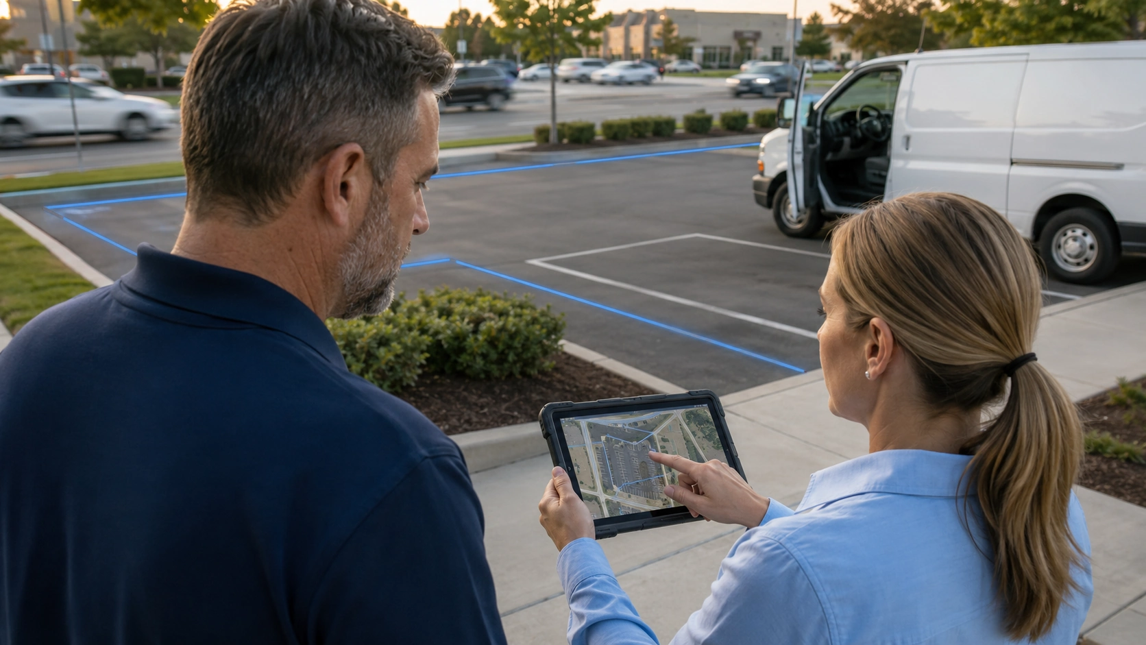
A first rollout should test one important location rather than covering the entire operation at once. Use this five step workflow:
- Pick a location. Choose a depot, shop, job site, or restricted area where an entry or exit affects a real decision.
- Choose shape and precision. Use a circle for a simple isolated location or a polygon where roads and neighbouring properties could create false events.
- Define the trigger rule. Select entry, exit, dwell time, time of day, or a combination that represents the event you need to capture.
- Assign the response or recipient. Decide who receives the alert and what that person should do next.
- Test and tune before full rollout. Drive through the boundary, confirm timing, adjust its shape, and review the result before assigning more vehicles.
Accurate asset assignments matter during testing because a correct location attached to the wrong vehicle can still lead to a poor decision. A clear fleet data model connecting vehicles, drivers, and GPS records helps preserve that context.
Frequently Asked Questions
-
Is fleet geofencing the same as GPS tracking?
No. GPS tracking reports where a vehicle is located, while geofencing compares that location with a defined virtual boundary and triggers an event when the vehicle enters, exits, or remains in the area. -
How accurate is fleet geofencing?
Accuracy depends on the GPS device, signal conditions, reporting frequency, boundary shape, and surrounding environment. Managers should leave a reasonable buffer around the location and test the boundary from each normal approach road. -
Does geofencing work without cell signal?
The GPS device may continue recording positions without cellular coverage, but the platform might not receive the event immediately. Some devices store location data and upload it after connectivity returns, so fleets should confirm device behavior before relying on instant alerts in remote areas. -
Can geofencing reduce fleet insurance costs?
Geofencing may strengthen theft response, route control, and documentation, but it does not guarantee a lower premium. Fleets should ask their insurer whether verified security practices or telematics data qualify for a discount. -
How many geofences should a fleet set up?
There is no universal target. Start with a few high value locations where an event requires action, measure whether the alerts improve decisions, and add more boundaries only when each one has a clear owner and purpose.